 English
Digital Assets Marketplace
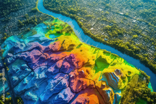
GIS product made after processing aerial pictures taken from a drone. AI
Download sample
File Details
Published: 2023-07-16 09:30:46.804804 Category: Graphic Resources Type: Illustration Model release: NoShare
Contributor: yurakrasil
ID : 623990559
)