Your Shopping Cart is empty.


Download sample
File Details
Published: 2025-05-05 13:03:51.512368 Category: Travel Type: Illustration Model release: No
Share
       

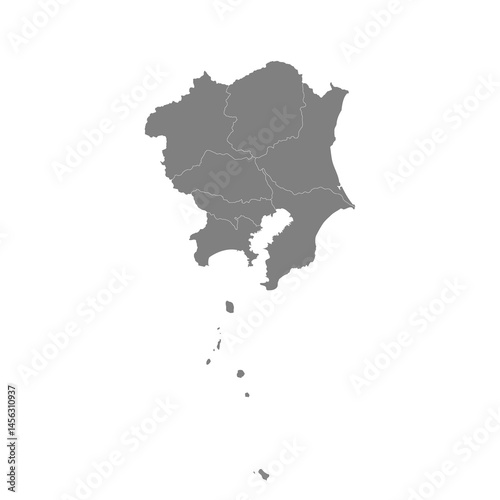
High Quality map of Kanto is a region of Japan, with borders of the prefectures

Contributor: magr80
ID : 1456310937

TitleFilesize
Illustration4000x4000


Buy on Adobe Stock

Keywords
map, japan, administrative, area, cartography, center, city, county, department, detailed, district, division, dutch, famous, geography, government, graphic, greater, guide, holland, illustration, japanese, mapping, holland, japan, outline, overview, plan, political, province, region, review, state, sub, texture, tour tourism, tower, town, travel, union, united, vector, kanto