Download sample
File Details
Published: 2025-03-13 18:48:20.502257 Category: Buildings and Architecture Type: Illustration Model release: NoShare
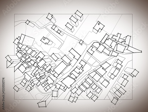
Imaginary cadastral map of territory with 3D buildings, fields, roads and land parcel of a residential district
Contributor: Francesco Scatena
ID : 1330158774
)
Keywords
map, cadastre, plan, planning, concept, concept, idea, land register, survey, property, ownership, homeownership, field, dimensional, three-dimensional, residential area, copy space, cartography, topography, building, human hand, crayons, writing, drawing, valuation, building exterior, tax, taxation, measurement, measure, land, road, town, street, city, illustration, graphicRelated items
-

#539286965
-
#1105028837
-
#338930786
-
#539267003
-
#585782134
-
#539290951
-
#855260270
-
#556661237
-
#465509843
-
#539311303
-
#539306493
-
#539290205
-
#357137476
-
#898418933
-
#404660805
-
#499863714
-
#497507790
-
#1531201376
-
#539285435
-
#1555668422
-
#416193637
-
#315074307
-
#539314717
-
#1345469616
-
#539296679
-
#500418038
-
#504337214
-
#1212023345
-
#539304032
-
#539291758
-
#221257333
-
#479332220