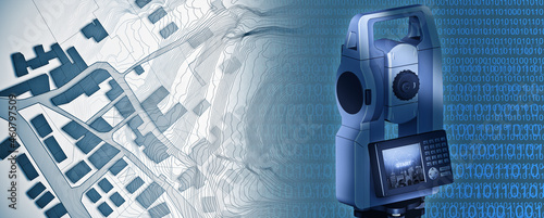
Imaginary cadastral map of territory with buildings and roads drawn with a CAD (Computer-Aided-Design) computer software in dwg format file and 3D rendering of a geodesic device, called Total Station
Contributor: Francesco Scatena
ID : 460797509

